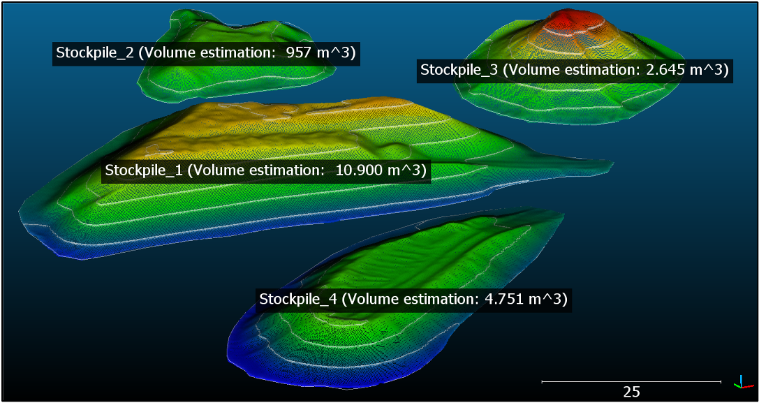
VOLUME ESTIMATION

Executive Summary
A digital terrain model represents the bare ground surface without any objects like plants and buildings.
Thus, it can be extremely useful for monitoring construction sites and more efficient for the use of resources such as stockpiles of various materials that are present at the construction site. By comparing terrain models at different points in time, the erosion and accumulation of a material can be monitored and documented.
For more information on the Volume Estimation showcase:
