SMALL STREAM BATHYMETRY


Executive Summary
LiDAR has the potential to be used for measuring the depths of relatively shallow water bodies, such as streams, from the air. In the first image on the left, there is an overview of a stream with a small water height and overhanging vegetation. Subsequently, vegetation is removed via classification and the Digital Terrain model is generated as shown in the second image.
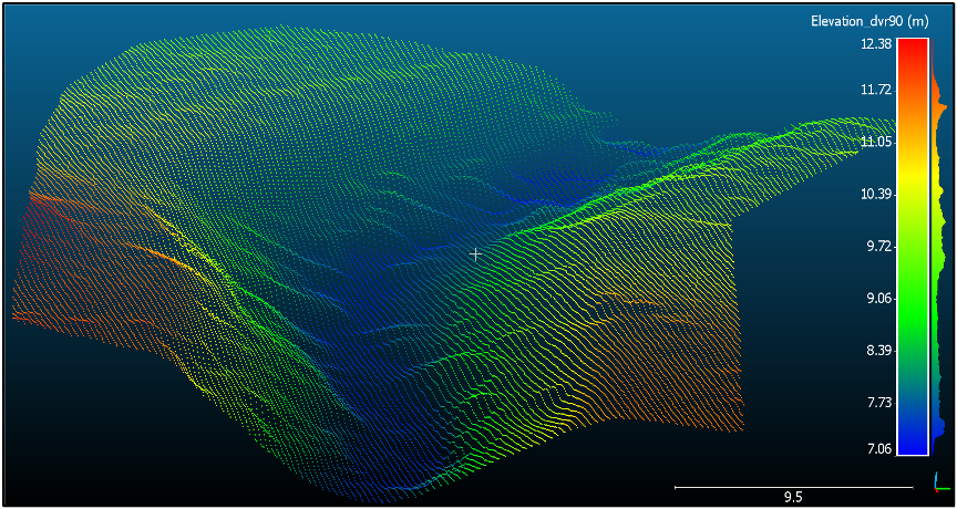
In the bottom image, a small part of the area is illustrated. This shows the potential to extract the full bathymetry including rocks and other large objects in the water column.
Cross sections located down along the stream's centerline direction may be extracted and fed into analyses of discharge and other hydrometric properties, e.g. combined with water elevation data obtained by UAVs as in the Riverscapes project.
For more information on Riverscapes project:
For more information on the Bathymetry showcase:
